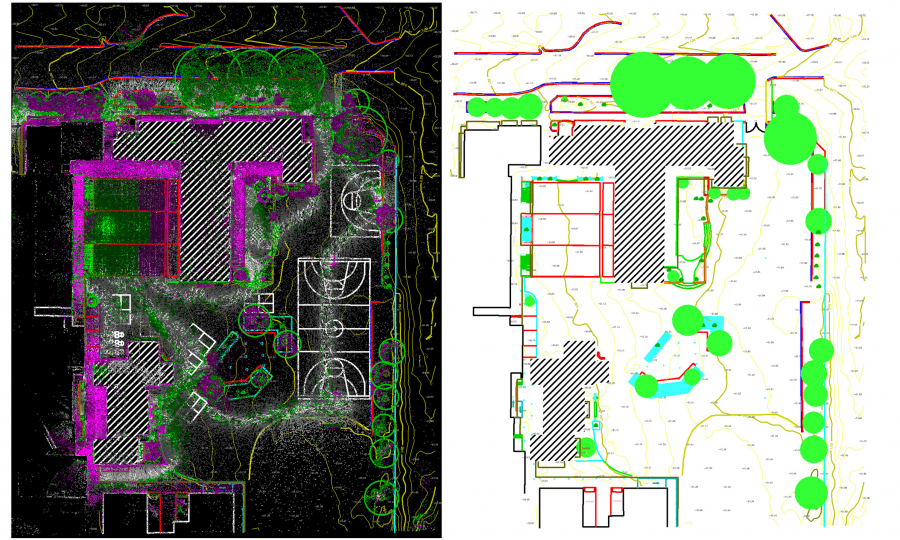
Project Overview
Using 3D Scanner for feature surveys is the most effective way of doing them. We have recently completed a primary school feature survey captured by a hand-held LiDAR scanner (Data credit to Mine Survey Plus).
- Category: Feature Surveys